Lunar New Year Hike 2025 (Taoyuan Valley 桃源谷步道 and Longlong Shan 隆隆山 - Daxi to Fulong)
- Bartosz Lewandowski
- Feb 2, 2025
- 5 min read

Updated: Feb 3, 2025
After my last half road marathon in Xiaoliuqiu, I wanted to focus on some trail and get ready to my big 50K race in Japan later this year.
This year, I took a whole week off work for Lunar New Year and got lucky with the weather—it’s been awesome these past few days. I felt like doing something more adventurous, so I decided to head back to Taoyuan Valley and try my luck with the stunning views on that trail. Plus, I added another 12km to the hike by visiting Longlong Shan (隆隆山). Check out some practical info at the bottom!
I've been to Taoyuan Valley twice before. The first time was a washout with tons of rain and no views. The second time, it didn't rain, but there were low clouds, so I only got a few views. Third time's the charm, right? I kept an eye on the weather and decided to go on the first day of the Lunar New Year (Year of the Snake).
I hopped on an early train from Taipei Main Station and got to Daxi station around 9:25 AM, after a 1 hour and 40-minute ride from Taipei. Most folks on the train were headed to visit family or check out the big temple in Dali. I wasn't expecting to see many people on the trails today.
Once you leave Daxi station, just head left and keep going down the road until you see the trailhead on your left (you really can't miss it). The whole Taoyuan Valley trail is super well-marked, so you won't need a map or GPX file. Just a heads up, though, if you're heading to Fulong for the first time, you might need a bit of help with navigation.
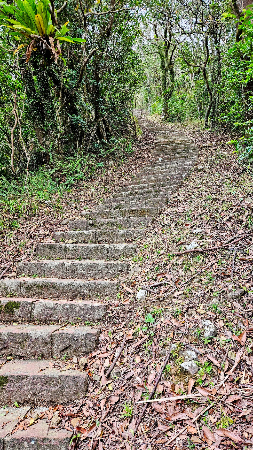
The first part of the trail is about 4km, and it's basically just stairs all the way up. Knowing this, I brought my hiking poles, which really came in handy for all those stairs. I only ran into one foreign couple on the way up, which wasn't surprising since there weren't many Taiwanese folks out there that day. :)
I also came across my first deer, specifically a "Reeves's muntjac." The first time, he wasn't scared of me, and I managed to snap some decent cellphone pics of him. But that wasn't the last one I saw that day! :) Since there weren't many people on the trails, I counted about fourteen sightings of these animals. Here's one I met and photographed later:

Once you finally conquer those endless stairs, you'll arrive at one of the first pavilions with an awesome view of the valley and Turtle Island. It's truly something special out there.


You just keep following the trail along the ridge, going up and down from one viewpoint to the next. I took my time because I kept stopping to take it all in. I finally ran into some other people along the way. If you want to make the hike shorter, you can drive pretty close to the valley and just walk a little bit to get to the ridge.
You can spot some water buffalos here too. I made sure to keep my distance, as usual. :)

There are a few places along the way where you can relax and enjoy the scenery. I found myself hanging out there for a while, just taking it all in :)

Eventually, I hit a crossroads. From there, you could either head down to Dali, which takes about 20-30 minutes, and catch a train back to Taipei, or you could go into the valley for another 7km to get to Fulong. The other option was to go straight and take a not-so-well-marked trail towards Longlong Mountain. I went with the third option and kicked off the second part of my journey that day, which had more technical terrain and way fewer people around...


The next few kilometers were pretty rough... lots of ups and downs with steep climbs and drops. There were some rope sections, mud, and tall grass that could really scratch up your legs as you pushed through. But honestly, I think it was the most fun I've had in a while. My mistake was bringing my hiking poles; with those big, steep rope sections and nowhere to stash them on my backpack, I struggled a bit and had to take it slow...

There are a few other trails you can check out along the way, so I'd recommend planning your route ahead of time and having a map on your phone or watch.
After 10km, I finally got to an old abandoned building, and the trail became way easier and more runnable...

I was aiming to wrap up in 5 hours and catch the 3pm train, but I didn't realize the last 12km would be so technical and challenging for me. Still, I had a great time! :)
I missed the 4:13 pm train by just 2 minutes, but it turned out to be a good thing. I got to use the restroom, hit up 7-Eleven for a Coke and some salty snacks, and then caught the next train at 4:44 pm.
In short, here's my suggestion: split the hike into two parts. You can either do Taoyuan Valley from Daxi to Dali or just tackle the section from Dali to Fulong (Longlong Shan). If you're thinking about doing both like I did, remember that the stretch to Fulong might take longer than you think. But honestly, it's one of the most stunning trails you can do as a day trip from Taipei. Highly recommended! :)
Some practical info about this trail.
Route planning: I usually use Komoot web to plan my routes. Planning is free, and you just need to register. After I create my route, I export it to a GPX file and send it to my watch (I am using Forerunner 965). Another option is to download the Komoot app to your phone and use planned routes on the app. https://www.komoot.com/
Public transport: I use the local train (here is the schedule - English available - https://tip.railway.gov.tw/tra-tip-web/tip/tip001/tip112/gobytime) and get off at Daxi station (大溪) or Fulong if you want to do it in reverse. I took the train at 7:34 AM from Taipei and arrived at Daxi at 9:23 AM. I would not suggest taking a later train as you will have less time to finish the trail before dark.
Water: There are no water refill options during the whole stretch. Taoyuan Valley is not shaded, so it's better to be prepared for this.
Toilets: There are 2-3 toilets around the main Taoyuan Valley Trail. There are none around the Longlong Shan Trail.
Difficulty: Taoyuan Valley 6/10 - due to length and elevation, it is mostly stairs and it is paved. Longlong Shan and part to Fulong 8-9/10 - very technical, some muddy sections, lots of rope sections, high grass that will leave small cuts on your legs. I would not go there if it rains, as the rope sections can be slippery.
Length and elevation: The initially planned course stated 1200m of elevation and 22km. It turns out the whole thing was 25km and 1870m of elevation. Only Taoyuan Valley is around 1000m.
Time: Taoyuan Valley from Daxi to Dali takes around 3 hours (my speed with some trail running - probably it would take me 3.5 hours if I want to take the train from Dali). The hike to Fulong through Longlong Shan is another 3.5 hours (again with some running involved). It took me exactly 6h 39m to complete the whole thing with a few stops to enjoy the view, animals, and have some snacks.
Overall: This is so far the best trail I have done while hiking/trail running in Taiwan. It is the best option if you want to have a one-day trip from Taipei for a hike! However, if you are not sure about your fitness, I would suggest doing only Taoyuan Valley or just Longlong Shan (from Dali to Fulong).


